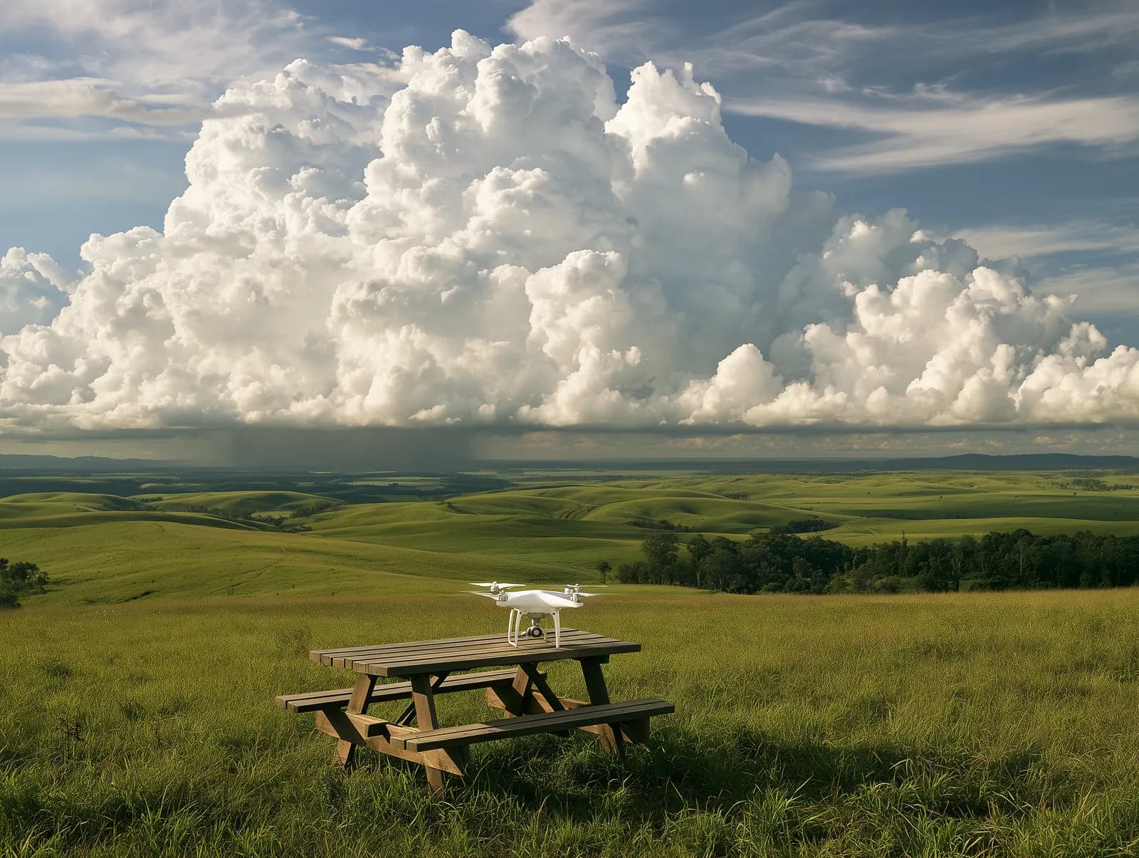
Part 107 makes weather your job. Before every flight you must assess the local weather conditions (14 CFR 107.49(a)). In flight you need at least 3 statute miles of flight visibility from the control station, and the drone must stay at least 500 feet below and 2,000 feet horizontally from clouds (14 CFR 107.51). This lesson maps out where official aviation weather comes from and what each product is for. The next two lessons teach you to decode METARs and TAFs.
Who produces aviation weather
U.S. aviation weather is a joint effort of NOAA, the FAA, the Department of Defense, NASA and commercial providers (Aviation Weather Handbook, p. 2-1). The ones you'll meet most often:
- National Weather Service (NWS). Its 122 Weather Forecast Offices write the Terminal Aerodrome Forecasts (TAFs) for airports (Aviation Weather Handbook, p. 2-4).
- Aviation Weather Center (AWC) in Kansas City, Missouri. It issues AIRMETs, SIGMETs and Convective SIGMETs (Aviation Weather Handbook, p. 2-3) and runs the aviationweather.gov website (Aviation Weather Handbook, p. 3-6).
- Center Weather Service Units. NWS meteorologists at FAA air route traffic control centers who issue Center Weather Advisories (Aviation Weather Handbook, p. 2-4).
- FAA Flight Service. Preflight weather briefings and flight planning (Aviation Weather Handbook, p. 2-5), including the 1800wxbrief.com website (Aviation Weather Handbook, p. 3-5).
Commercial apps mostly repackage NWS products, but some make their own forecasts, which can differ substantially from the NWS ones (Aviation Weather Handbook, pp. 2-5 to 2-6). The FAA does not certify internet providers of aviation weather (Aviation Weather Handbook, p. 3-1), so know where your app's data comes from.
Where a remote pilot gets it
The FAA encourages remote pilots to get weather before flight from Flight Service on the 1800wxbrief.com website, which needs a free account. Flight Service also has a telephone service, but it is intended for manned aircraft pilots only (AC 107-2A, para. B.3). The FAA also points remote pilots to aviationweather.gov, which is free, needs no registration and has the METARs and TAFs you'll use most (AC 107-2A, para. B.3.1).
On aviationweather.gov, the Graphical Forecasts for Aviation (GFA) Tool puts observations, forecasts and advisories on one zoomable map. Its Low Altitude mode focuses on altitudes up to 5,000 feet AGL. Be careful with the layer switches: turning off an overlay, such as the AIRMETs, can hide hazardous weather along your route (Aviation Weather Handbook, p. 28-2). Some weather sites don't show NOTAMs or temporary flight restrictions (Aviation Weather Handbook, p. 3-5), so check TFRs separately on the FAA's TFR website (AC 107-2A, para. B.3.1).
Flight Service briefings come in three types (Aviation Weather Handbook, pp. 3-3 to 3-4):
- Standard: the most detailed, complete weather picture.
- Abbreviated: a shorter update to an earlier briefing.
- Outlook: for a departure 6 or more hours away, followed by a standard or abbreviated briefing closer to the time.
Observations: what is happening now
- A METAR is the routine surface weather report, produced near the top of each hour. A SPECI is an unscheduled report issued between them when certain changes occur (Aviation Weather Handbook, p. 24-6).
- Most reports come from automated stations. ASOS is the nation's primary surface observing network (Aviation Weather Handbook, p. 24-2); an AWOS makes a METAR every 20 minutes and does not send SPECIs (Aviation Weather Handbook, p. 24-4). Wind direction is in degrees true in reports distributed nationally, such as on websites, but magnetic on the local radio or telephone broadcast (Aviation Weather Handbook, p. 24-3).
- PIREPs (pilot weather reports) tell you what pilots actually met in flight. Routine reports are coded UA and urgent ones UUA (Aviation Weather Handbook, p. 24-27). Their altitudes are above mean sea level unless noted (Aviation Weather Handbook, p. 24-26), while METAR cloud heights are above ground level (Aviation Weather Handbook, p. 24-15).
- Radar. NEXRAD images in weather apps can be 5 to 15 minutes old or more, so they are for staying well clear of storms, never for finding a way through them (Aviation Weather Handbook, p. 3-2).
- Weather cameras show current conditions at many sites, but they are a supplementary product for situational awareness only (Aviation Weather Handbook, p. 3-5).
Forecasts: what is expected
A TAF forecasts conditions within 5 statute miles of the center of an airport's runway complex. The NWS issues TAFs for nearly 700 U.S. airports, most covering 24 hours and some major airports 30 hours (Aviation Weather Handbook, p. 27-6). Between TAF airports, use the GFA. Its static Aviation Surface Forecast and Aviation Clouds Forecast graphics are updated every three hours, with snapshots from 3 to 18 hours ahead (Aviation Weather Handbook, p. 27-22).
Advisories: warnings of hazards
- SIGMET: severe or greater turbulence, severe icing, widespread dust storms or sandstorms, or volcanic ash. Valid for up to 4 hours (Aviation Weather Handbook, p. 26-5).
- Convective SIGMET: thunderstorms, such as a line at least 60 miles long or embedded or severe storms. Issued hourly at 55 minutes past the hour and valid for 2 hours (Aviation Weather Handbook, p. 26-8). Every Convective SIGMET implies severe or greater turbulence, severe icing and low-level wind shear (Aviation Weather Handbook, p. 26-7).
- AIRMET: meant especially for VFR pilots and operators of sensitive aircraft (Aviation Weather Handbook, p. 26-15). Sierra covers IFR conditions (ceiling below 1,000 feet and/or visibility below 3 statute miles) and mountain obscuration. Tango covers moderate turbulence, sustained surface winds of 30 knots or more and low-level wind shear. Zulu covers moderate icing and freezing levels (Aviation Weather Handbook, p. 26-16).
- Center Weather Advisory (CWA): hazardous weather that meets or approaches AIRMET or SIGMET criteria when no advisory has been issued for it (Aviation Weather Handbook, p. 26-20).
Worked example: planning a Saturday roof inspection
You're booked for a 9 a.m. Saturday roof inspection about 4 statute miles from the center of an airport that has a TAF.
- Thursday evening, more than 6 hours out: an outlook briefing or a look at the GFA shows the trend (Aviation Weather Handbook, p. 3-4).
- Friday evening: read the TAF. At 4 miles your site is inside its 5 statute mile area (Aviation Weather Handbook, p. 27-6). Check the AIRMETs too: a Sierra hints that visibility could drop below the 3 statute miles you need, and a Tango for strong surface winds is a warning sign for any small drone (Aviation Weather Handbook, p. 26-16).
- Saturday, 8 a.m.: check the latest METAR, any SPECIs, PIREPs and radar. Say the METAR shows 6 statute miles and a broken layer at 1,200 feet AGL. Staying 500 feet below that layer would allow 700 feet, so the 400-foot altitude limit is the one that binds (Aviation Weather Handbook, p. 24-16) (14 CFR 107.51). Check TFRs as well (AC 107-2A, para. B.3.1).
- On site: the METAR describes the airport, not your roof. FAA guidance is to use the closest station that best represents your terrain, and if no report is available you must confirm visibility and cloud clearance by other reliable means (AC 107-2A, para. 5.12.3). Look at the sky before you launch.
Common mistakes
- Relying on a general phone weather app. Its forecast may not be the NWS aviation forecast, and the FAA doesn't certify internet weather providers (Aviation Weather Handbook, p. 3-1).
- Treating radar as live. App radar images can be 5 to 15 minutes old or more (Aviation Weather Handbook, p. 3-2).
- Reading PIREP altitudes as above ground. They are MSL unless noted (Aviation Weather Handbook, p. 24-26).
- Skipping AIRMETs because they sound like they're for airplanes. They are aimed at VFR pilots and sensitive aircraft (Aviation Weather Handbook, p. 26-15).
- Looking for the text Area Forecast (FA). For the contiguous U.S. it was retired and replaced by the GFA Tool and its graphics; text FAs are still produced only for Alaska (Aviation Weather Handbook, p. 27-24).